
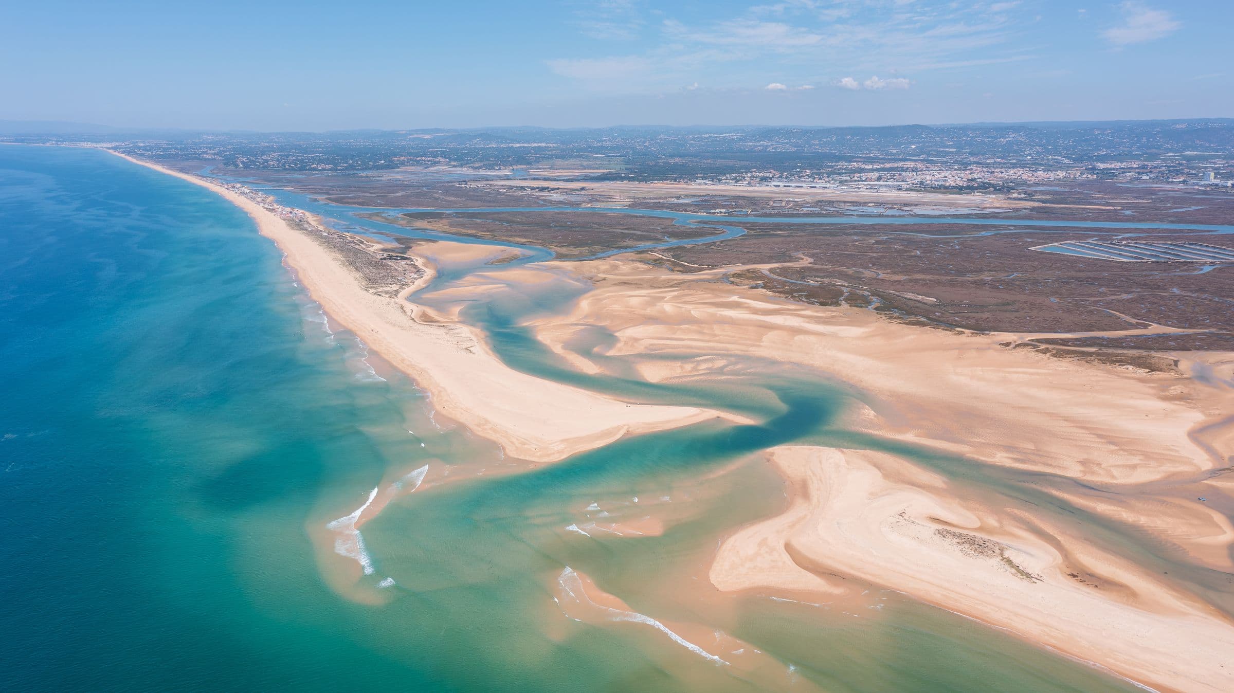
Nature in the Algarve
Beyond the beaches there is another Algarve: clifftop and mountain trails, lagoons full of birdlife, dams to paddle on, springtime waterfalls and viewpoints that explain the whole region. This is the guide, with everything on the map.
Trails & long walks
Rota Vicentina (Fishermen's Trail)
The clifftop walking network of the wild west coast. The Fishermen's Trail hugs the ocean from Odeceixe down to Sagres in day-sized stages of sandy paths, seabird cliffs and empty beaches.
Via Algarviana
The 300 km inland crossing of the Algarve, from the Guadiana at Alcoutim over the Caldeirão and Monchique hills to the lighthouse at Cabo de São Vicente. The serious way to see the interior.
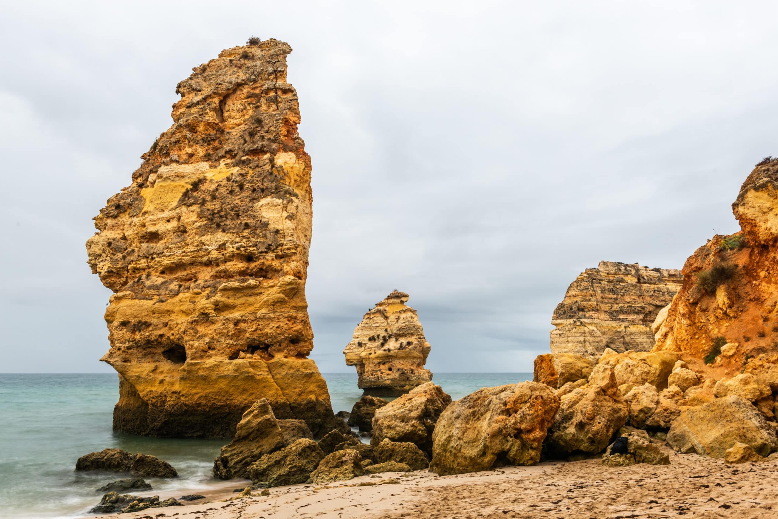
Seven Hanging Valleys Trail
The Algarve's most famous clifftop walk, about six kilometres between Praia da Marinha and Praia de Vale de Centeanes, above sea arches, sinkholes and the Benagil cave.
Ludo Trail
Flat, easy paths through the salt pans and lagoons of the Ria Formosa between Faro and Quinta do Lago. Flamingos in season, birdlife all year, and good cycling.
Parks & reserves
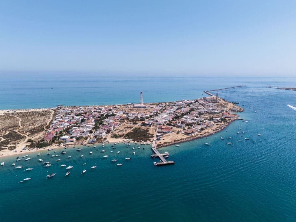
Ria Formosa Natural Park
The great lagoon system of the eastern Algarve: barrier islands, tidal flats, salt pans and seahorse meadows. The visitor centre at Quinta de Marim, Olhão, is the classic way in.
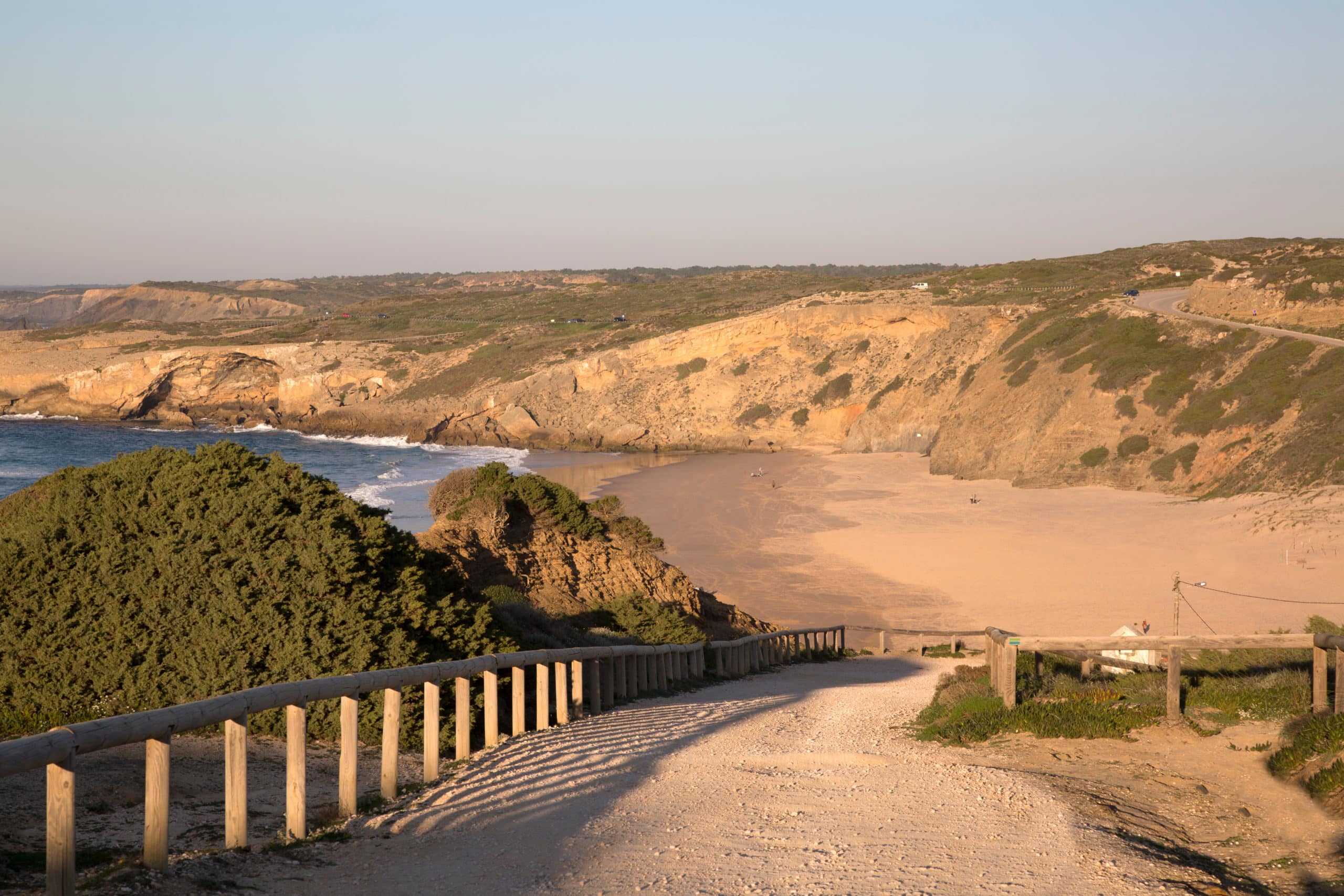
Southwest Alentejo & Costa Vicentina Natural Park
One of Europe's longest stretches of protected coastline covers the whole wild west coast, from Burgau round to the Alentejo. Carrapateira's beaches and boardwalks show it at its best.
Castro Marim Salt Marsh Reserve
Portugal's first nature reserve: salt pans and marshes beside the Guadiana where flamingos, spoonbills and storks feed, and traditional flor de sal is still raked by hand.
Fonte da Benémola
A protected green valley near Querença where a spring keeps the stream running all year. An easy circular walk through willows, poplars and old watermills, at its best in spring.
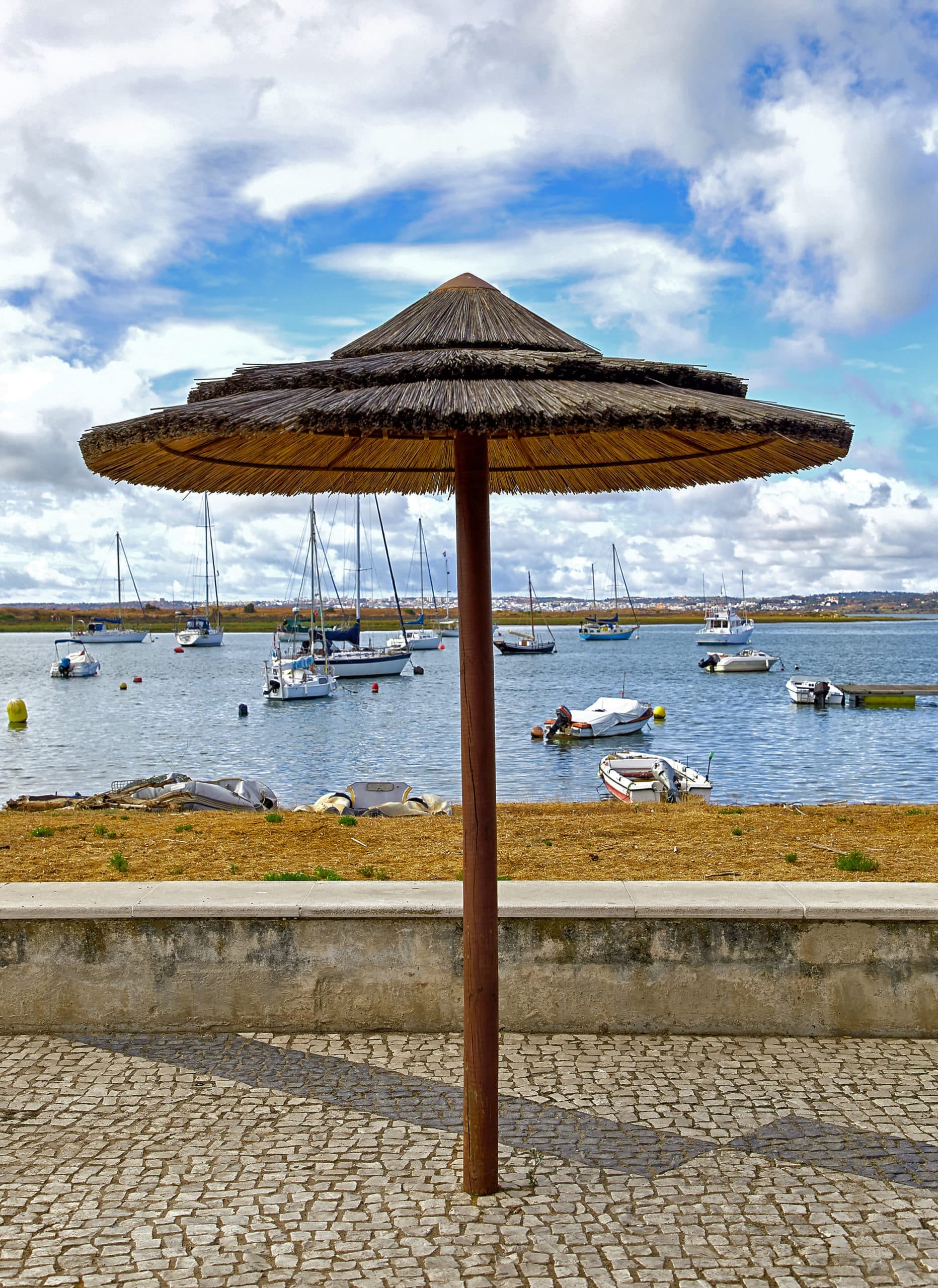
Ria de Alvor
The estuary between Alvor and Lagos: dunes, salt marsh and wooden boardwalks out across the water. An easy sunset walk with waders and shellfish gatherers for company.
Lagoa dos Salgados
A coastal lagoon behind Praia Grande that is one of the easiest birdwatching sites in the south: flamingos, glossy ibis and purple swamphens from a flat boardwalk.
Lakes & dams
Arade dam
A quiet reservoir in the hills behind Silves, ringed by eucalyptus and orange groves. Picnic spots, kayaking and mirror-still water on windless mornings.
Bravura dam
The western Algarve's blue-green reservoir, folded into steep hills north of Lagos. A dramatic viewpoint from the dam wall and walking trails around the shore.
Odelouca dam
The region's largest reservoir, deep in the Monchique foothills. Remote, wild and mostly empty: the drive in through cork oaks is half the reward.
Odeleite dam (the Blue Dragon)
Seen from above, this winding reservoir in the northeast corner curls like a blue dragon through the hills, which made it briefly internet-famous. Ground level is quieter: olive terraces and pure Guadiana backcountry.
Beliche dam
Odeleite's smaller neighbour, just downstream: pine-fringed banks, fishing spots and barely another soul, even in August.
Springs & waterfalls
Pego do Inferno
A small waterfall and green plunge pool hidden in the orchards outside Tavira. Best after winter rain; in high summer the fall can slow to a trickle.
Queda do Vigário
Alte's waterfall, a short walk from the village springs, dropping over a travertine ledge into a swimming hole. A classic spring-time picnic spot.
Fonte Grande de Alte
The spring that made Alte famous: cool water, stone picnic tables under the trees and a river beach feel in the middle of one of the Algarve's prettiest villages.
Caldas de Monchique
The Algarve's thermal springs, prized since Roman times, in a wooded hamlet on the Monchique road. Come for the walk through the valley woods as much as the water.
Peaks & viewpoints
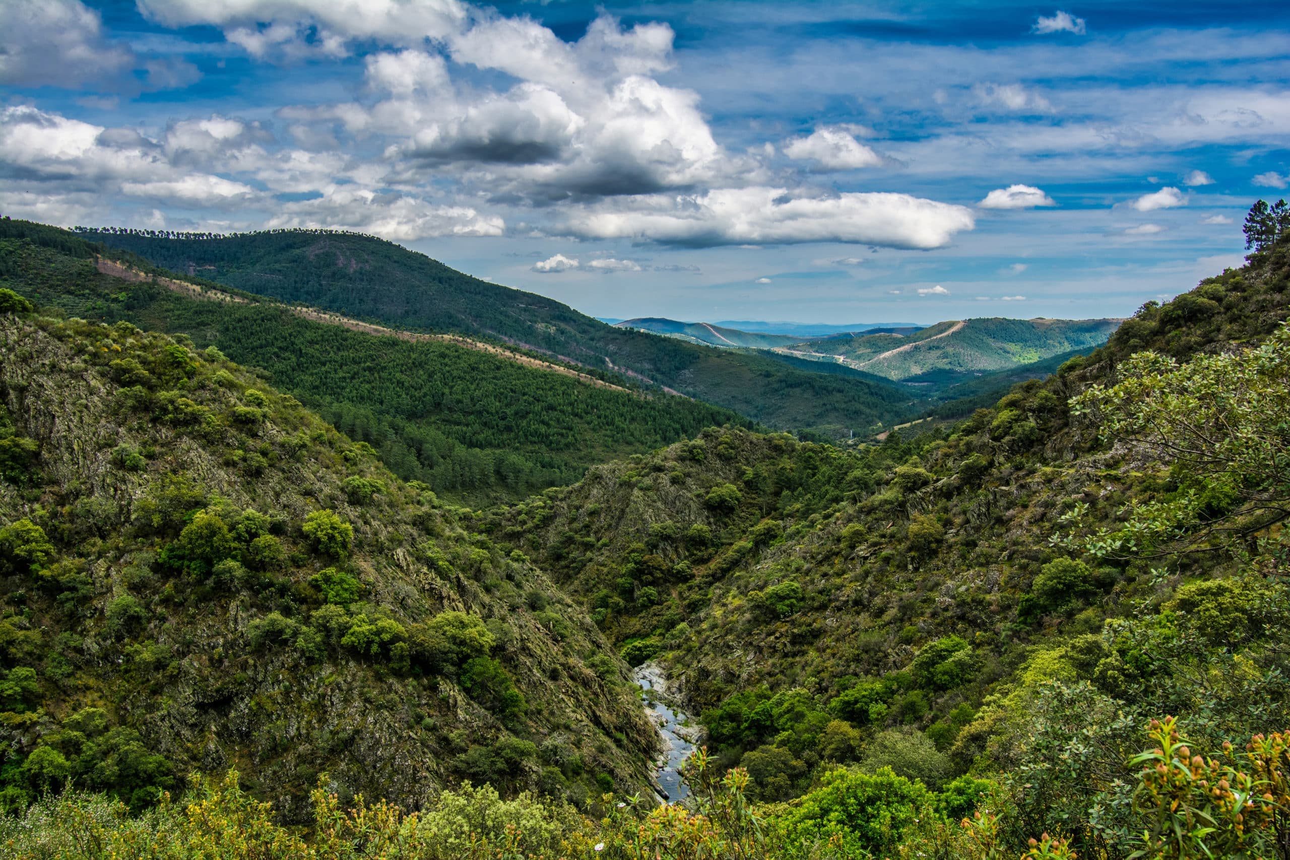
Fóia
The roof of the Algarve at 902 metres. On a clear day the view runs from Cabo de São Vicente to the hills behind Faro, and it is reliably ten degrees fresher than the coast.
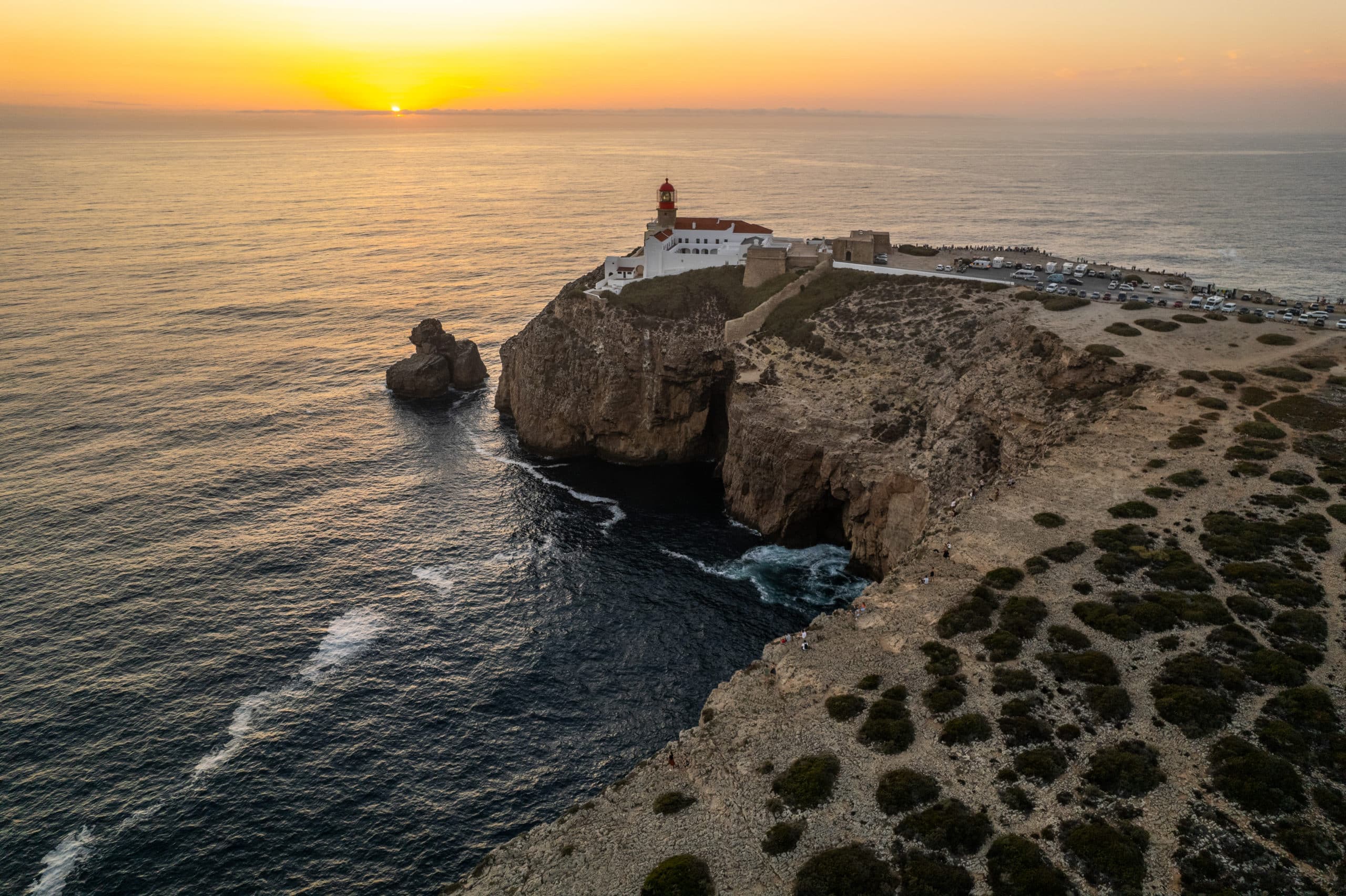
Cabo de São Vicente
Mainland Europe's southwestern corner: a lighthouse on sheer cliffs where the old world believed the sea ended. The sunsets draw a crowd for good reason.
Rocha da Pena
A limestone table rising out of the barrocal near Salir, with a circular trail past caves, Iron Age walls and Bonelli's eagles to a summit view over half the Algarve.
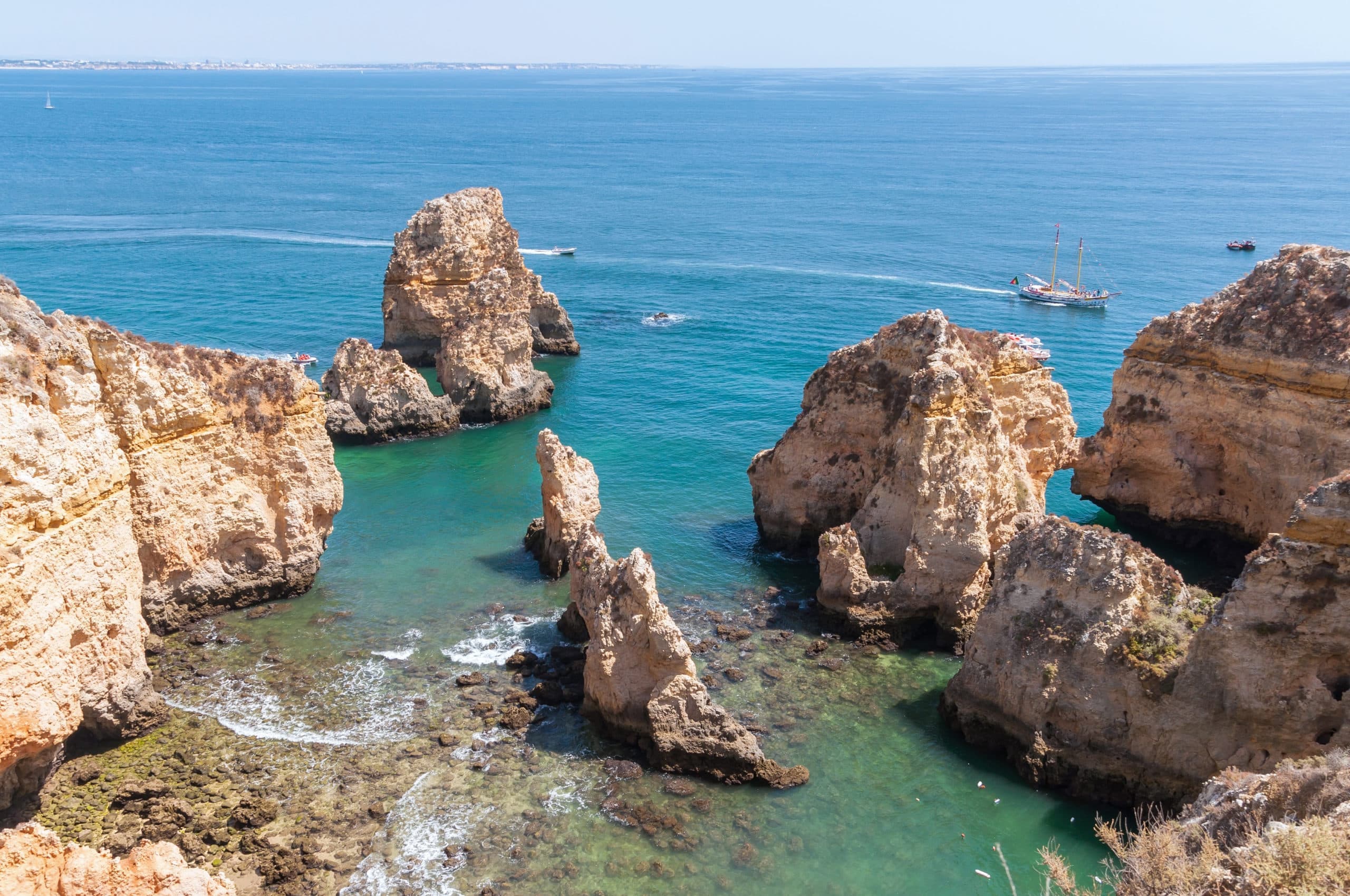
Ponta da Piedade
Lagos's golden headland of sea stacks, arches and grottoes. Walk the clifftop boardwalk, take the long staircase down to the water, or see it properly from a small boat.
Cacela Velha
A whitewashed hamlet on a bluff above the eastern tip of the Ria Formosa, looking over oyster beds and a white sandbar. One of the Algarve's great simple views.
Know a corner that belongs here? The community's secret spots live in Gems: share yours. And for sea days, the beaches guide covers every beach with live sea conditions.