
The best beaches in the Algarve.
From wide golden bays to hidden coves under the cliffs and the wild surf of the west coast. We have mapped more than two hundred of them, with live sea conditions, so you can pick the right one today.
Beaches worth the trip
A handful to start with. 201 are in the full guide, filterable by town.
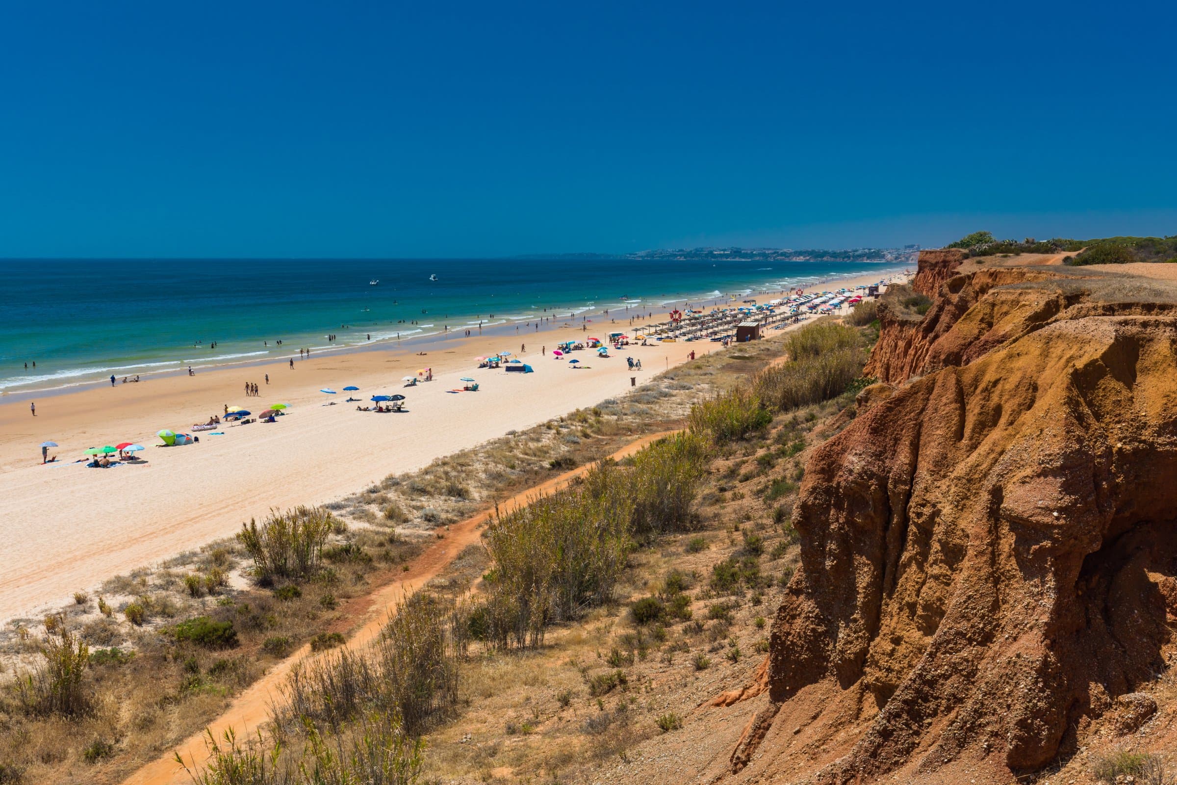
Praia da Falésia
Quinta Amoroso
Praia das Primas
Praia dos Tesos
Praia da Batata
Praia de Dona Ana
Praia do Castelo
Praia do Camilo
Praia Tavira-Ria
Praia do Forte da Barra
Pinheiro Beach
Praia Tomás Franco
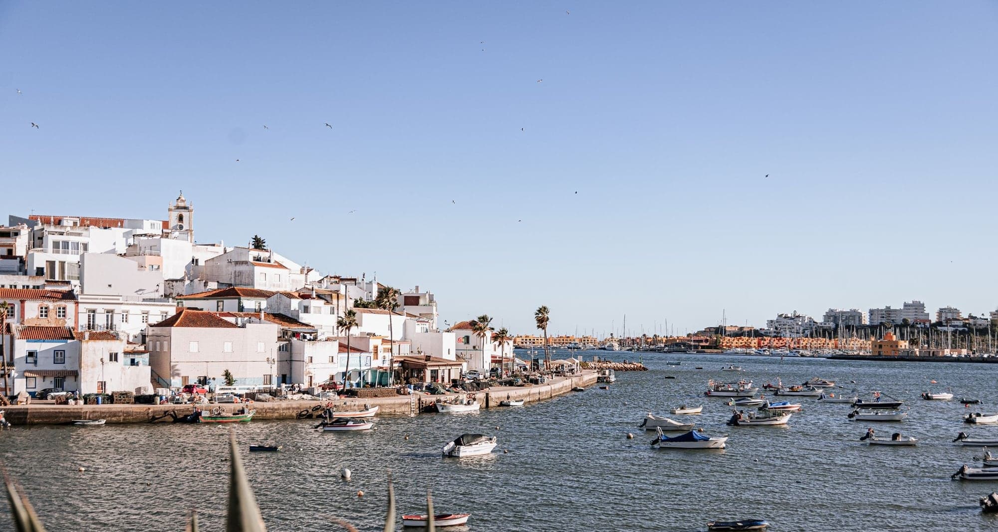
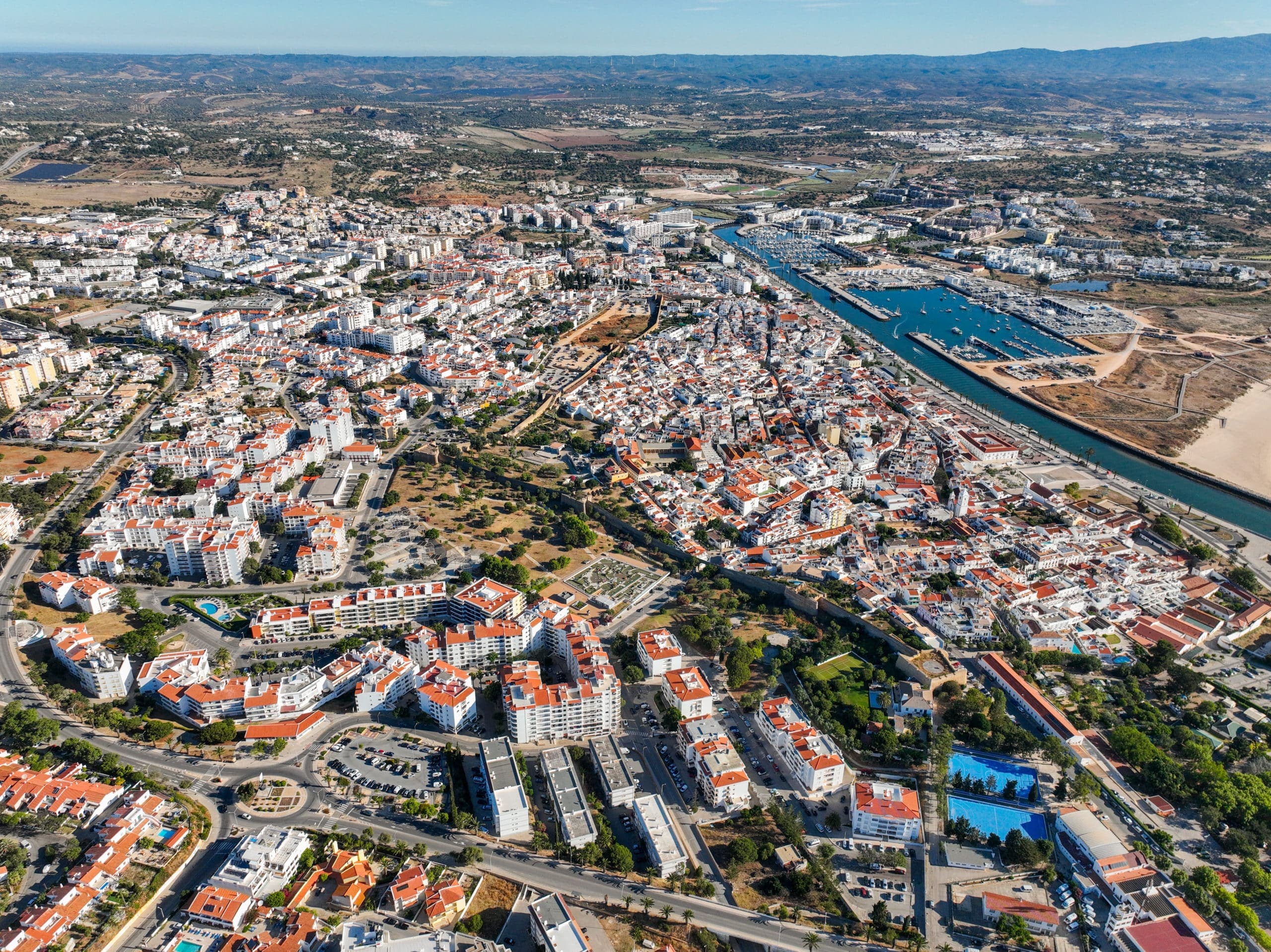
The Algarve's beach towns
Where to base yourself for the coastline you want.
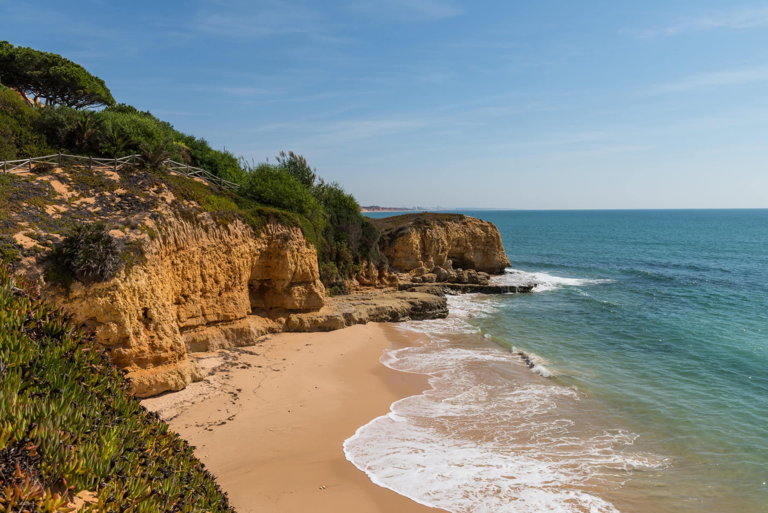
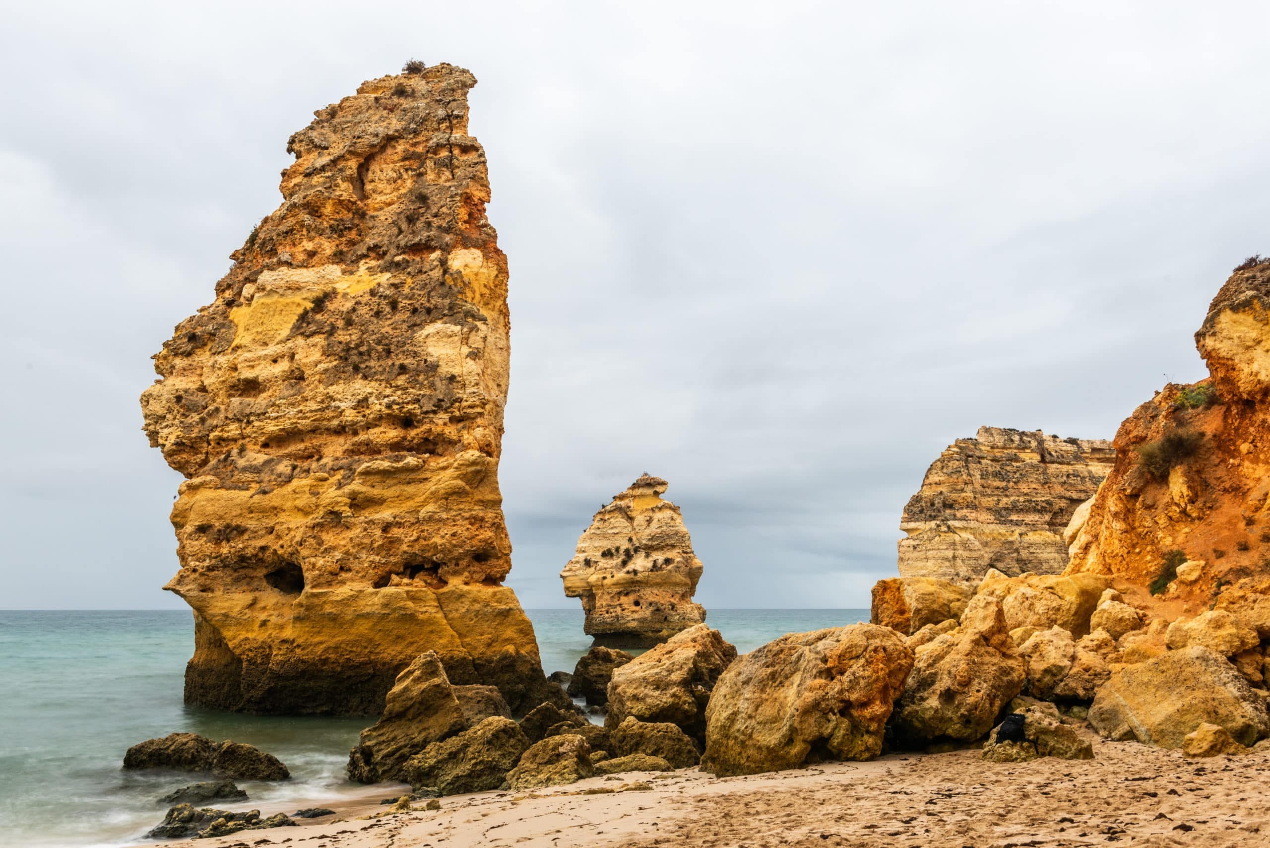
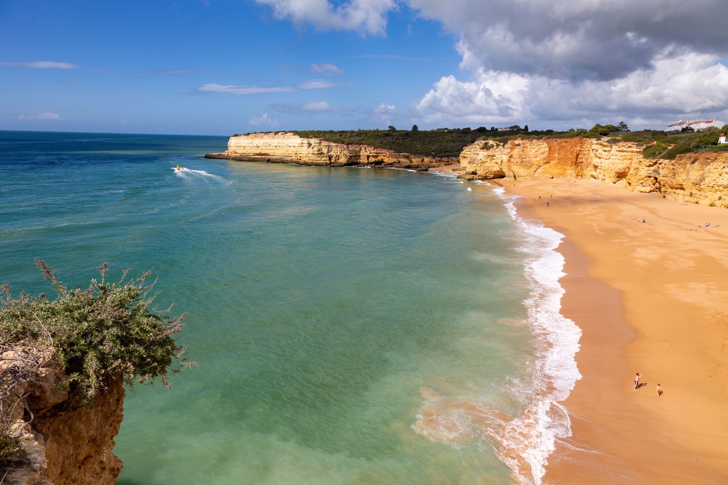
Hidden coves and viewpoints
The quiet spots that never make the guidebooks, shared by people who live here.
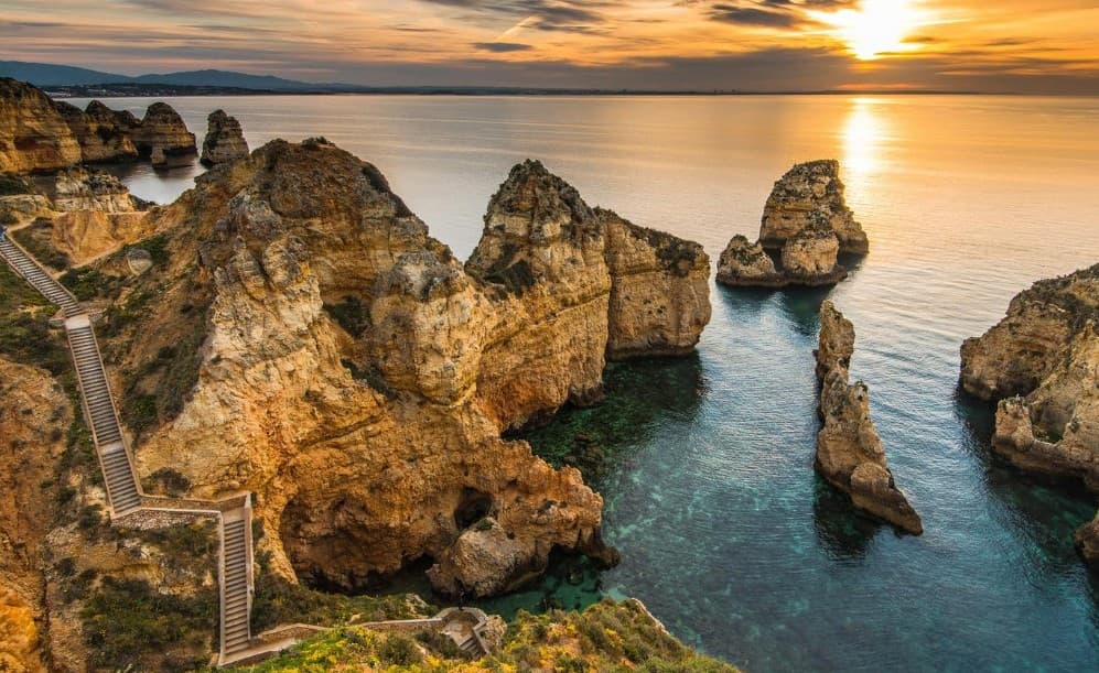
Ponta da Piedade
“Ponta da Piedade is one of my favourite places around Lagos — breathtaking views, beautiful turquoise waters and amazing rock formations. I never get tired of seeing it! 🌊❤️”
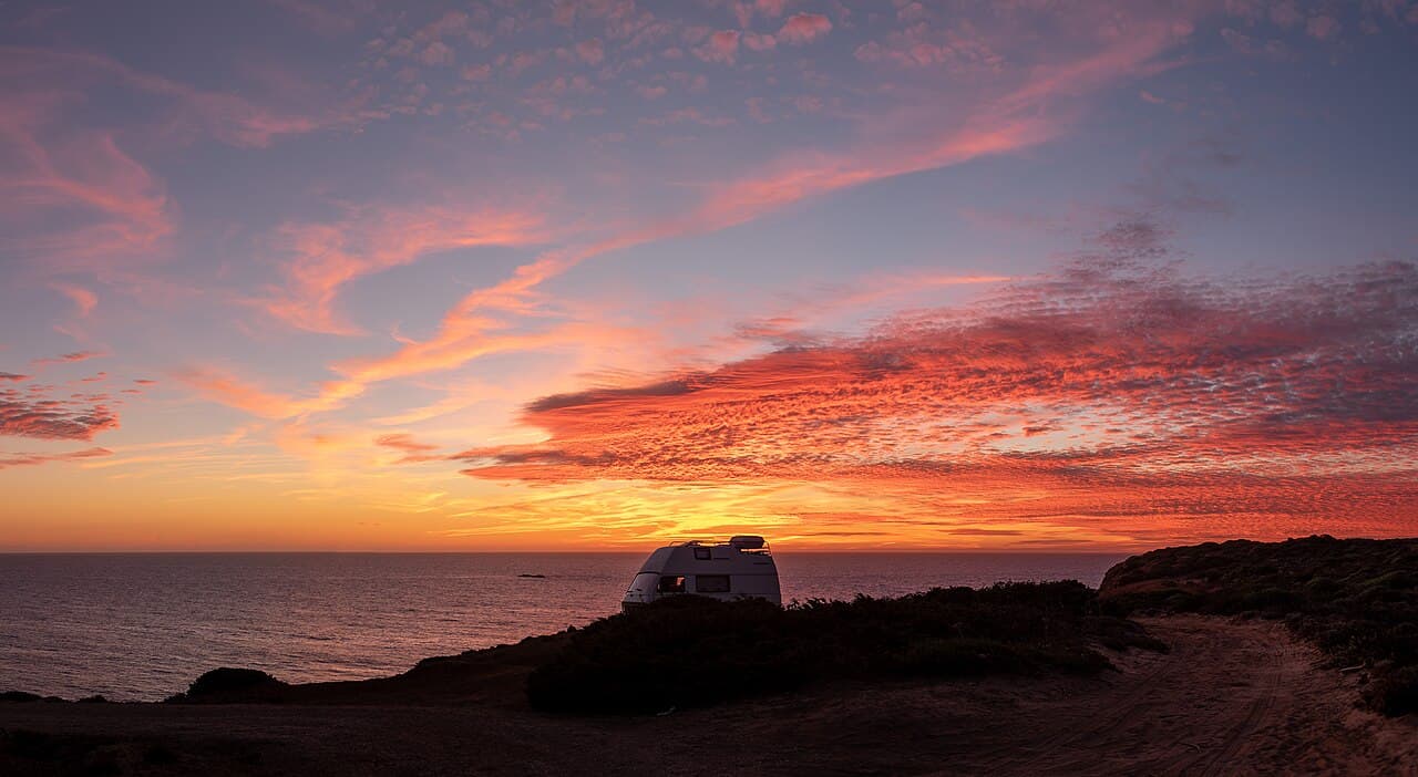
Carrapateira Sunset Headland
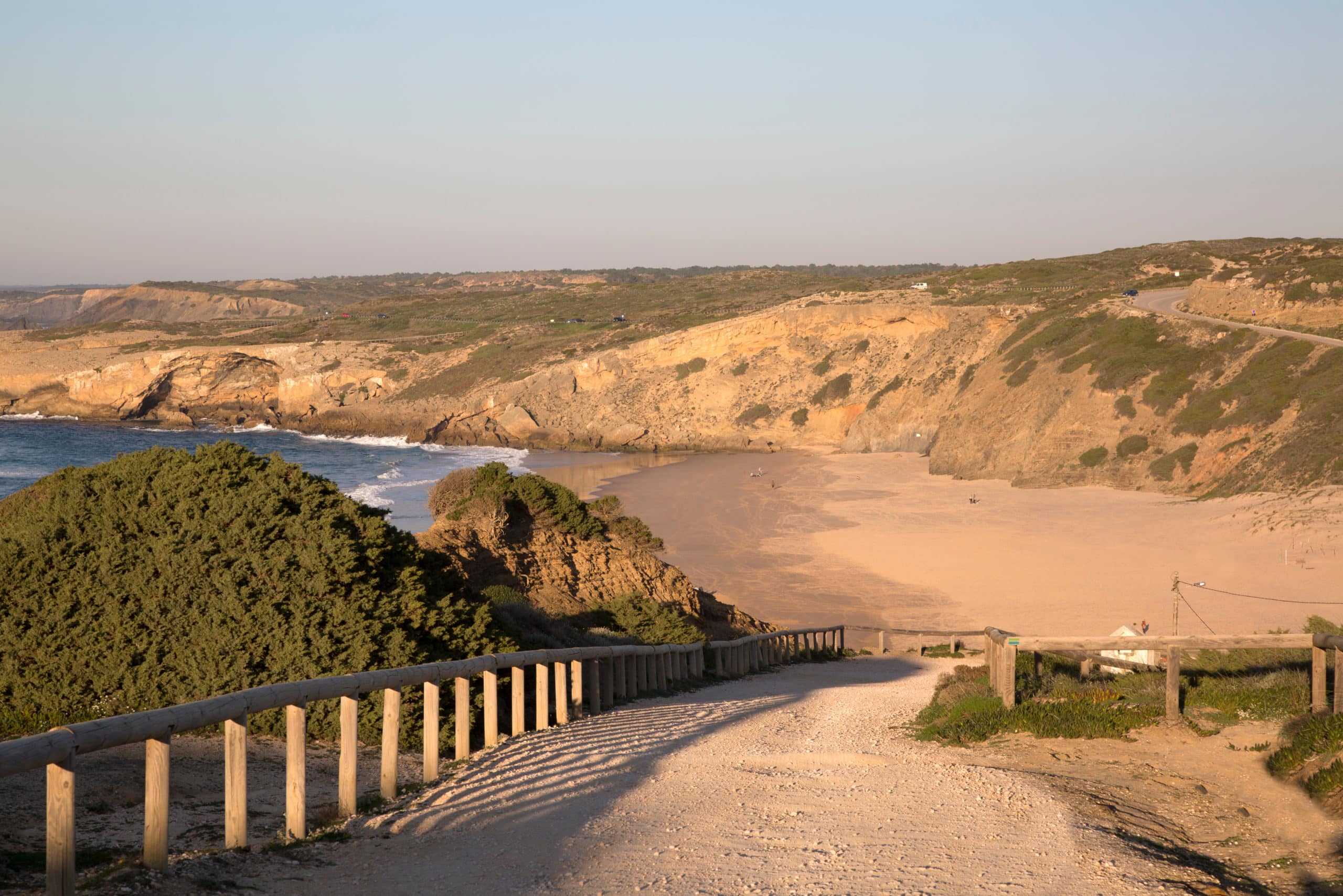
The wild headland loop between Bordeira and Amado beaches, the west coast's best short sunset walk or drive. The Pontal da Carrapateira is a tongue of cliff and dune jutting into the Atlantic, circled by a dirt road with wooden viewpoint platforms hanging over black rock and white surf. Fishermen's paths thread the edges, Bordeira's vast sands open to the north and Amado's surf bowls to the south, and at dusk a quiet mix of villagers and campervanners gathers to watch the sun go into the sea. Walk the loop in about an hour or drive it in ten minutes, but walking wins. Start from Carrapateira village and go clockwise so the ocean stays on your right, and keep children back from the platform edges.
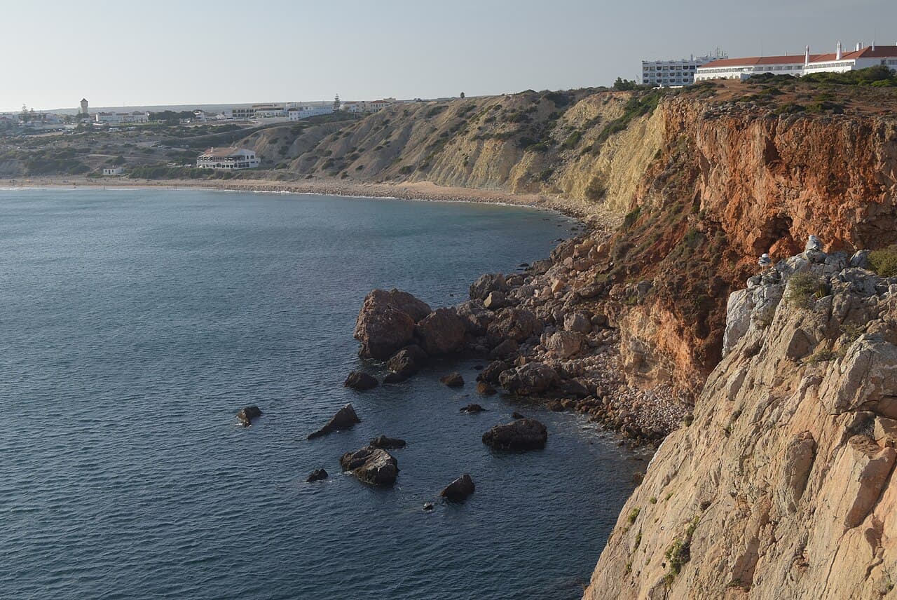
Ponta da Atalaia Fisherman's Cliffs
The clifftop headland on the edge of Sagres town where local anglers cast into the Atlantic and the crowds never quite arrive. Between Praia da Mareta and the fishing harbour, Ponta da Atalaia is where Sagres actually meets the sea: bare limestone shelves, low salt-pruned scrub and men with enormous rods standing improbable watch above the swell. The views run west to the fortress promontory and on towards Cabo de São Vicente, and in October the headland is a front row seat for migrating seabirds. Sunset here is calmer and less staged than at the cape itself. Walk out from the harbour road or from Mareta in about ten minutes; stay well back from the undercut edges, as the wind gusts hard and the cliffs are unfenced.
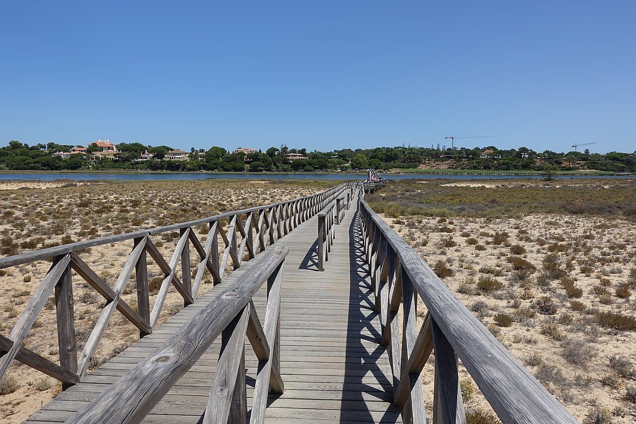
Quinta do Lago Wooden Bridge at Dawn
The long wooden footbridge across the Ria Formosa at Quinta do Lago, at its best in the hour after sunrise. By mid morning this boardwalk is a procession of beach bags, but at dawn it belongs to herons, joggers and whoever bothered to set an alarm. The bridge crosses lake, marsh and dune on its way to Praia da Quinta do Lago, and the low light across the wetland is the closest the Golden Triangle gets to wilderness. Anglers work the channel below, and the São Lourenço nature trail begins by the lake if you want to extend the walk. Park at the Praia da Quinta do Lago car park at the end of the avenue; arriving before eight in summer also means beating the parking queue.
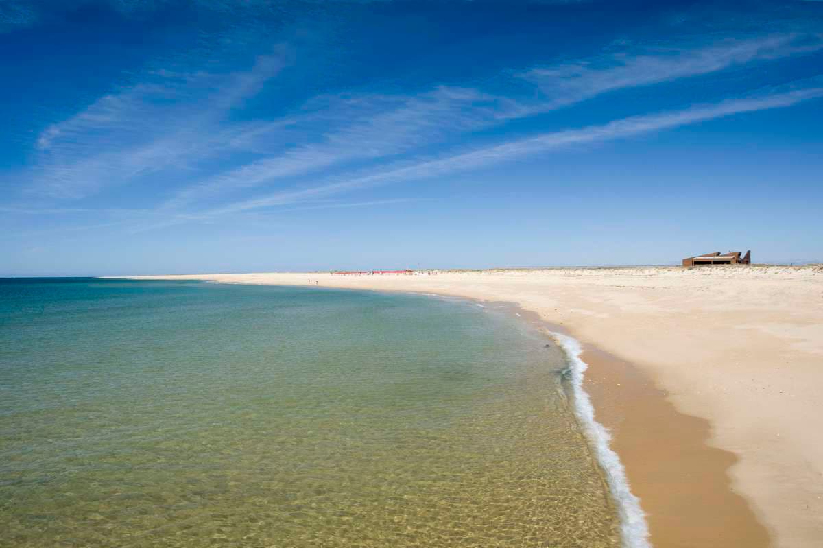
Ilha Deserta's Empty Far End
The southernmost tip of mainland Portugal: an uninhabited barrier island of white sand and shell banks, a short boat ride from Faro. Ilha Deserta, officially Ilha da Barreta, has no town, no cars and a single restaurant by the jetty. Most visitors settle within sight of it, which is why we send people the other way: follow the boardwalk or the tideline south-west towards Cabo de Santa Maria and within fifteen minutes you have kilometres of beach to yourself, with shell drifts underfoot and the whole Ria Formosa at your back. Boats run from Faro's old town pier year round, more often in summer. There is no shade beyond the restaurant, so take an umbrella, water and a hat, and note the time of the last boat back.
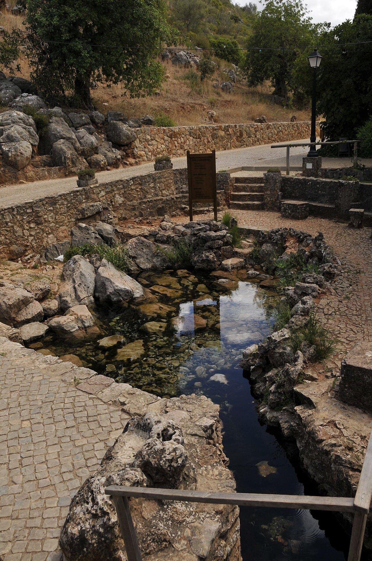
Alte Village Springs
The spring pools at the foot of Alte village, where cold water, stone picnic tables and big shade trees make the classic inland picnic spot. Fonte Grande and Fonte Pequena have watered Alte for centuries, and the walled pools and cobbled terraces around them are still where village life happens: christenings, São João festivities and long Sunday lunches in the shade. The stream runs cool even in August, and children paddle in the shallow channels below the weir. Verses by Cândido Guerreiro, the village poet, are tiled onto the walls by the water. Follow the stream path east for ten minutes to reach the small Vinagre waterfall, at its best after winter rain. Park at the edge of the village and walk down; mornings are quietest.
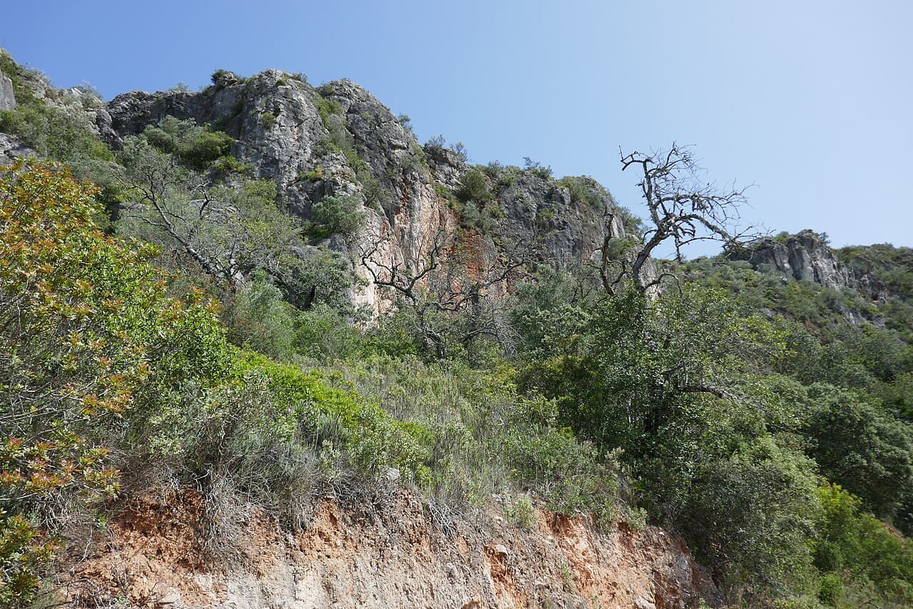
Rocha da Pena Escarpment
A 479 metre limestone ridge above Salir with a looping trail, two old windmills and views to the sea on clear days. The Rocha rises like a grey wall out of the Barrocal, and the classified circular trail of about six kilometres climbs through holm oak and wild olive to a summit plateau where a drystone rampart, said to be over two thousand years old, runs along the edge. Raptors ride the updraughts at eye level, and February covers the slopes in wild orchids and almond blossom. On the way down you pass the pair of restored windmills above Penina. Start at the trailhead in Rocha village, take two litres of water in summer, and allow around three hours for the full loop.
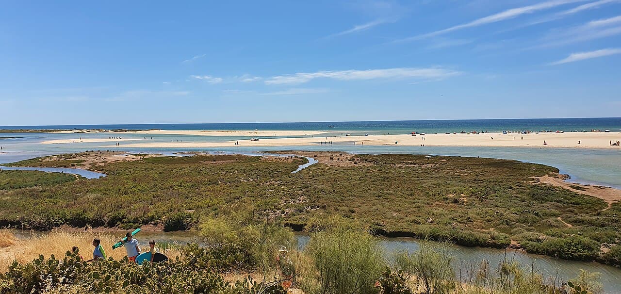
Cacela Velha Sandbar
A tiny whitewashed hamlet above a lagoon where, at low tide, locals wade across to an empty white sandbar. Cacela Velha is barely a dozen houses, a church and an old fort on a bluff at the eastern end of the Ria Formosa. The magic is below: when the tide drops, the lagoon empties to warm shallows and you can walk out to a long ribbon of white sand with clear Atlantic water on the far side. Oysters are farmed in the channels, and the view from the churchyard wall is one of the finest in the east Algarve. Park at Fábrica or above the hamlet, check the tide table before you go, and carry everything you need, as the sandbar has no shade or facilities.
Two coastlines, one region
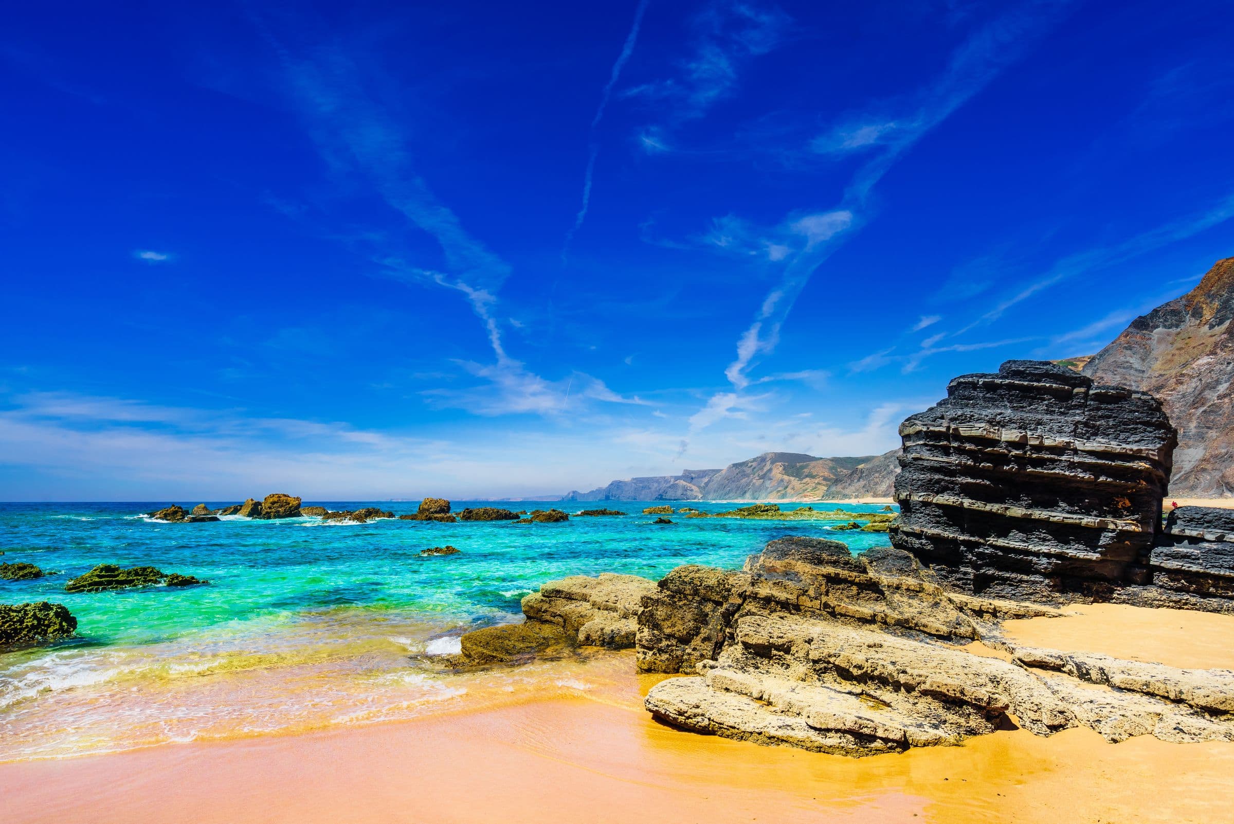
The southern coast is the Algarve most people picture: sheltered bays, warm shallow water and golden sand framed by ochre cliffs, from Lagos and Albufeira round to Tavira in the east. The west coast is a different world, wild Atlantic surf, big skies and long empty strands that draw surfers and walkers all year.
Every beach in the guide is a real listing you can save, like and check before you go, with the features we have verified and the live sea conditions on the day. The hidden coves come straight from the community, pinned to the exact spot on the map. No tourist-trap rankings, just the coastline as the people who live here know it.
Save the beaches you love.
Create a free account to save your favourite beaches and coves, follow your towns, and get the local lowdown straight to your feed.