
Ponta da Piedade
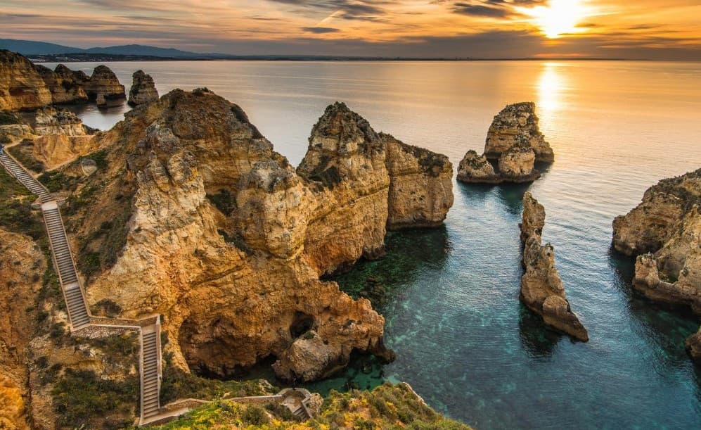
“Ponta da Piedade is one of my favourite places around Lagos — breathtaking views, beautiful turquoise waters and amazing rock formations. I never get tired of seeing it! 🌊❤️”
Worth the trip?
No ratings yet. Be the first.
Where to find it
Get directions
Found by Jas Paul
More like this
Ponta da Atalaia Fisherman's Cliffs
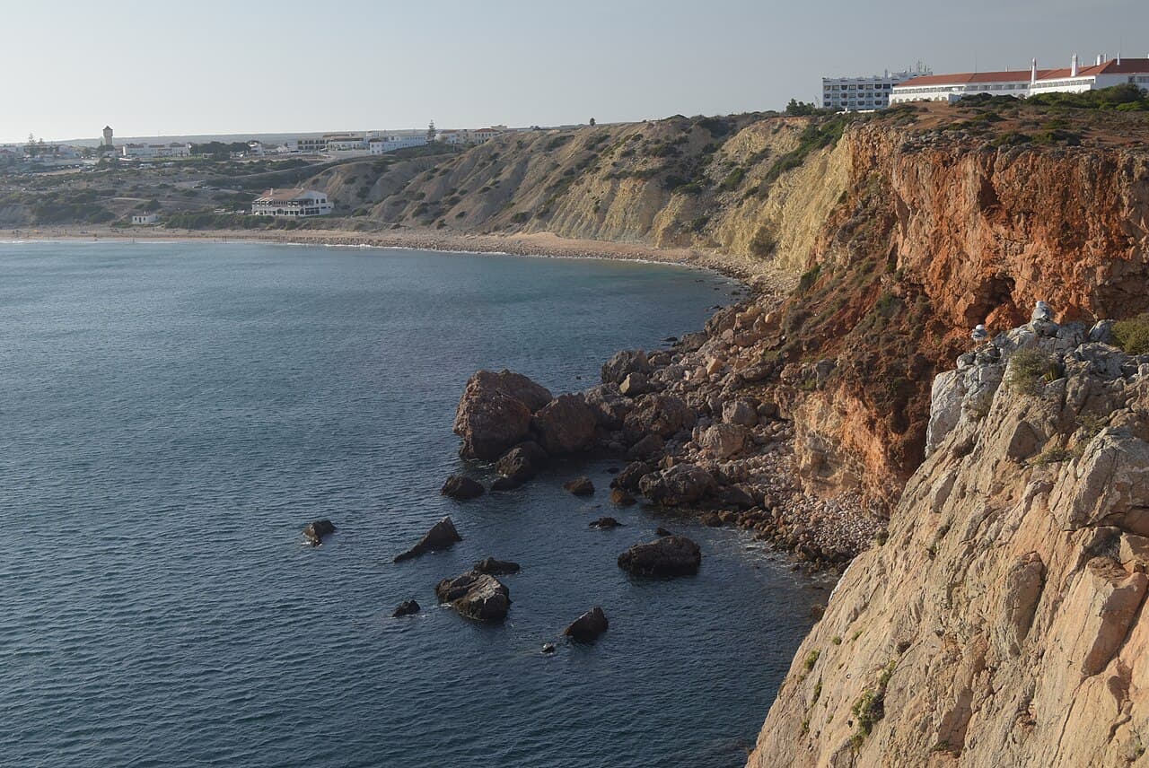
The clifftop headland on the edge of Sagres town where local anglers cast into the Atlantic and the crowds never quite arrive. Between Praia da Mareta and the fishing harbour, Ponta da Atalaia is where Sagres actually meets the sea: bare limestone shelves, low salt-pruned scrub and men with enormous rods standing improbable watch above the swell. The views run west to the fortress promontory and on towards Cabo de São Vicente, and in October the headland is a front row seat for migrating seabirds. Sunset here is calmer and less staged than at the cape itself. Walk out from the harbour road or from Mareta in about ten minutes; stay well back from the undercut edges, as the wind gusts hard and the cliffs are unfenced.
Bravura Reservoir Viewpoint
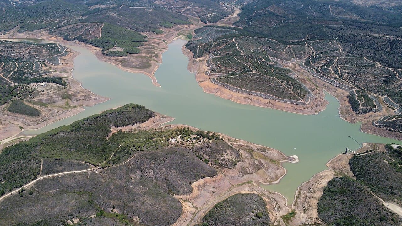
A blue green reservoir folded into the hills north of Lagos, with dam-top views, quiet trails and not a beach bar in sight. Twenty minutes from the coast, the Bravura dam holds a lake that winds between eucalyptus and cork slopes, and almost nobody makes the detour. Cross the dam wall for the classic view down the valley, then pick up the dirt tracks along the shore for an hour of walking with only goat bells for company. Water levels swing with the rains, so the shoreline can look dramatic in dry years. There is no café and no lifeguard, which is precisely why it stays calm. Drive up via Odiáxere, take a picnic, and save the viewpoint by the dam gates for golden hour.
Rocha da Pena Escarpment
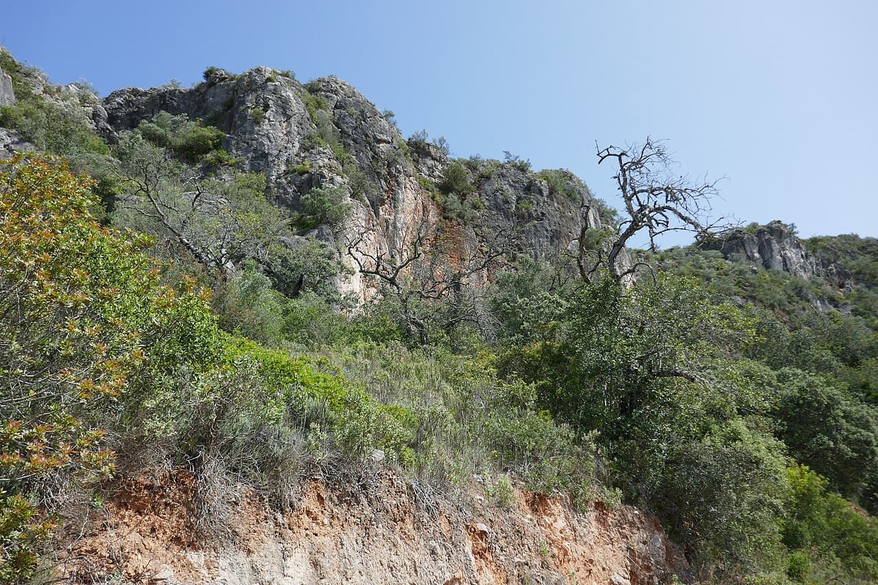
A 479 metre limestone ridge above Salir with a looping trail, two old windmills and views to the sea on clear days. The Rocha rises like a grey wall out of the Barrocal, and the classified circular trail of about six kilometres climbs through holm oak and wild olive to a summit plateau where a drystone rampart, said to be over two thousand years old, runs along the edge. Raptors ride the updraughts at eye level, and February covers the slopes in wild orchids and almond blossom. On the way down you pass the pair of restored windmills above Penina. Start at the trailhead in Rocha village, take two litres of water in summer, and allow around three hours for the full loop.
Know a hidden spot like this?
Add your own Gem